Visit Colombia itinerary
Southern Andes & Archaeology
Southern Andes · 10–14 days · Archaeology, food & highland culture
Travel north to south from Tatacoa’s dry forest through ancient stone landscapes, Popayán’s food culture, Pasto’s highland arts, and the Guáitara canyon at Las Lajas.
Day-by-day
Balanced pace · Drier periods can help with road travel, but closures, works, fog, and heavy rain remain possible in every season.
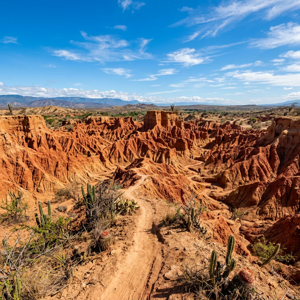
Days 1–2: Tatacoa landscapes
Use the first two days for the desert sectors and astronomy without attaching a long southbound transfer to a fixed activity booking.
Stops: Desierto de la Tatacoa
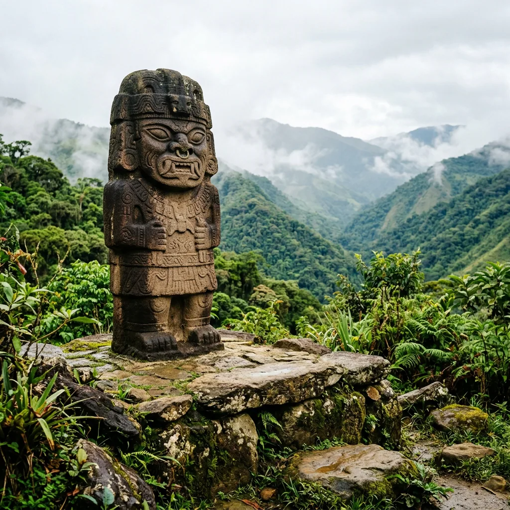
Days 3–5: San Agustín archaeology
Allow a mostly overland arrival day, then protect at least one full day for the authorized archaeological areas.
Stops: Parque Arqueológico de San Agustín
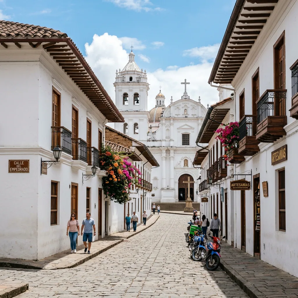
Days 6–8: Popayán food and heritage
Treat the mountain crossing as the main task of the first day, leaving the following time for the historic center and regional food.
Stops: Popayán
Suggested base: Popayán
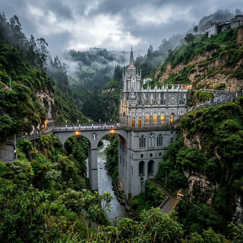
Days 9–12: Pasto and Las Lajas
Continue south with a delay buffer, then use Pasto as the regional base for a separate Ipiales and Las Lajas outing.
Stops: Pasto → Santuario de Las Lajas
Suggested base: Pasto
Ordered stops
1. Desierto de la Tatacoa — Huila
Details: https://visit-colombia.com/cities/691
Public access: Enter through Villavieja and choose a walk, local transfer, or tour suited to the sector. Avoid the strongest midday heat and confirm astronomy and tour times locally.
Source: Colombia Travel — https://colombia.travel/en/encanto/nature/your-own-road-movie-in-the-tatacoa-desert
Reviewed 2026-07-23; recheck by 2027-01-19
2. Parque Arqueológico de San Agustín — Huila
Details: https://visit-colombia.com/cities/693
Public access: ICANH admission fees and scheduled closure dates apply. Confirm the current calendar and arrive within the published entry window before planning onward travel.
Source: Instituto Colombiano de Antropología e Historia — https://modelo.icanh.gov.co/prensa/actualidad-icanh/tarifaseingresos2026
Reviewed 2026-07-23; recheck by 2026-10-21
3. Popayán — Cauca
4. Pasto — Nariño
5. Santuario de Las Lajas — Nariño
Details: https://visit-colombia.com/cities/791
Public access: The sanctuary is reached from Ipiales by local road transport and a descending canyon walkway. Confirm local transport and site schedules and prepare for cold, high-altitude weather.
Source: Colombia Travel — https://colombia.travel/en/ipiales
Reviewed 2026-07-23; recheck by 2027-01-19
Transport and access
1. Desierto de la Tatacoa → Parque Arqueológico de San Agustín · Road
Return through Villavieja and allow most of a day for the journey south through Huila. Do not pair this transfer with a fixed archaeological park entry.
Public access: Mountain-road closures, maintenance, weather incidents, and restrictions can change journey times. Check INVÍAS #767 immediately before each long transfer and avoid tight same-day connections.
Source: Instituto Nacional de Vías — https://www.invias.gov.co/767/estadovias.html
Reviewed 2026-08-23; recheck by 2026-09-22
2. Parque Arqueológico de San Agustín → Popayán · Road
Treat the mountain crossing toward Popayán as a full travel day. Weather, roadworks, and restrictions can materially extend the journey.
Public access: Mountain-road closures, maintenance, weather incidents, and restrictions can change journey times. Check INVÍAS #767 immediately before each long transfer and avoid tight same-day connections.
Source: Instituto Nacional de Vías — https://www.invias.gov.co/767/estadovias.html
Reviewed 2026-08-23; recheck by 2026-09-22
3. Popayán → Pasto · Road
Continue south on a long intercity road transfer and keep the arrival evening free in case mountain-road conditions cause delays.
Public access: Mountain-road closures, maintenance, weather incidents, and restrictions can change journey times. Check INVÍAS #767 immediately before each long transfer and avoid tight same-day connections.
Source: Instituto Nacional de Vías — https://www.invias.gov.co/767/estadovias.html
Reviewed 2026-08-23; recheck by 2026-09-22
4. Pasto → Santuario de Las Lajas · Road
Travel to Ipiales, then use local road transport and the canyon walkway for the sanctuary. Confirm the return journey before descending.
Public access: The sanctuary is reached from Ipiales by local road transport and a descending canyon walkway. Confirm local transport and site schedules and prepare for cold, high-altitude weather.
Source: Colombia Travel — https://colombia.travel/en/ipiales
Reviewed 2026-07-23; recheck by 2027-01-19