Curated Colombia itinerary
La Guajira Desert & Wayuu Route
Follow a northbound planning sequence from Palomino through Riohacha and Manaure into the Wayuu desert landscapes of Cabo de la Vela and Punta Gallinas.
Route sequence
Ordered stops
Follow the editorial order below, or open any stop directly in the interactive map.
1La Guajira
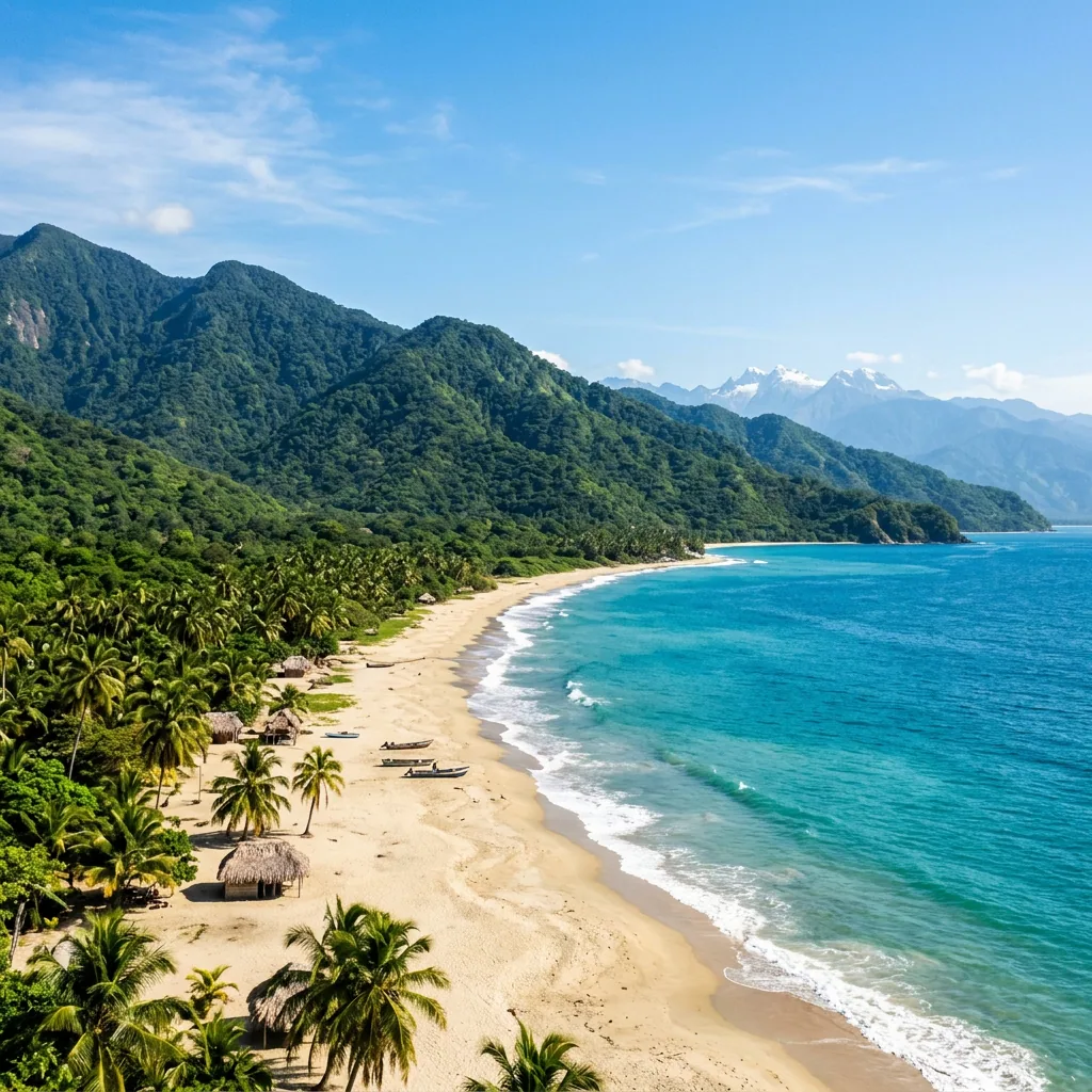
Palomino
A Caribbean village below the Sierra Nevada where a jungle river reaches a broad beach near the town.
2La Guajira
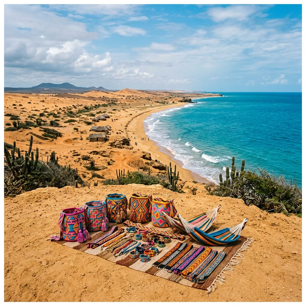
Riohacha
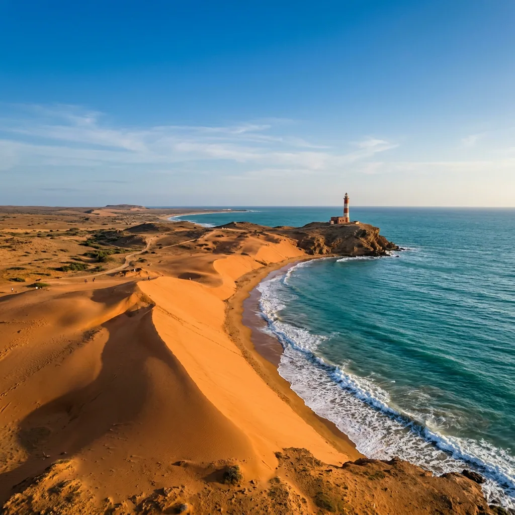
Journey to the edge of the continent in La Guajira, a land of orange dunes, turquoise waters, and the ancient wisdom of the Wayuu people.
3La Guajira
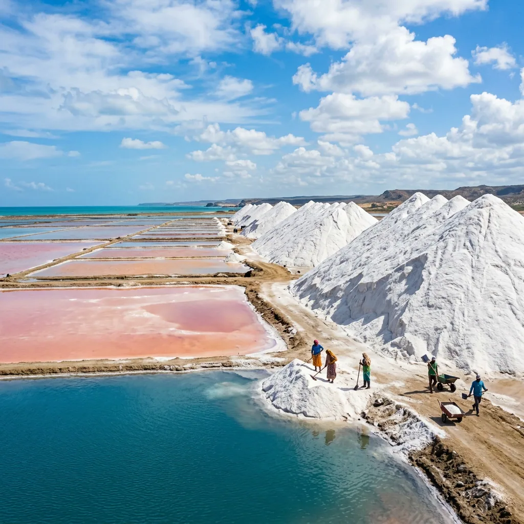
Manaure
A La Guajira salt town where white ponds and mounds meet the Caribbean landscape and living Wayuu traditions.
4La Guajira
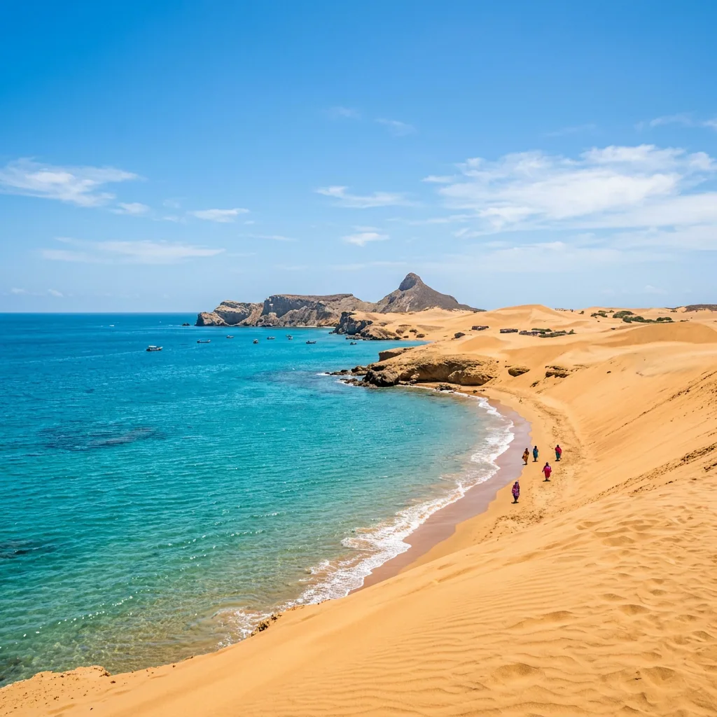
Cabo de la Vela
A desert headland on the Guajira Peninsula shaped by Wayuu culture, ochre cliffs, dunes, and Caribbean water.
Related guides
5La Guajira
Punta Gallinas
The northernmost point of mainland South America, reached across Wayuu territory, dunes, bays, and desert tracks.
Between stops
Transport and access
These are planning connections, not turn-by-turn directions. Confirm operators, schedules, road conditions, and access rules before travel.
- Road
PalominoRiohacha
- Road
RiohachaManaure
- Road
ManaureCabo de la Vela
- Road
Cabo de la VelaPunta Gallinas
This remote desert leg is commonly planned with local 4×4 transport; verify conditions before departure.